| Run | Piney (The Big Piney) |
| Date | 12.15.18 |
| Level | 8in on bridge, ~850cfs on USGS 02027500 |
Due to some significantly better thought and planning on Todd’s part a trip down south into Virginia was organized. With my car in the shop for a leaking roof, I wasn’t paying much attention to the weather. But he was watching the key storm that was brewing, with lots of rain planned. The trip started of being me leading the group down Johns. Rain started on Friday and by the time we were driving down the gauge for Johns was heading up quickly. I started working on the alternate plan, and getting everyone on the same page. The primary option would be the Maury, but there were also other creeks in the area that would definitely be running. While looking I stumbled upon the Piney River, one basin down from the Tye. After some dithering in a rest stop parking lot I had the group convinced to do a lap on the Maury and head to Piney to check it out.
When we arrived at the Maury things were big, looking potentially the highest I have run it. Todd estimated it being at around 3000cfs, later to be proven correct. From my previous high level experience there I knew things would be big and any rock gardens would be no more. Took my new preferred line, that I learned from some locals that previous run, through Devil’s Kitchen. The diagonal across the rapid starting at the top left eddy was nice and smooth and I had one of my best lines through. Overall everyone had good runs, albeit with some minor carnage. A new personal highest level for everyone, and we thoroughly enjoyed the run.
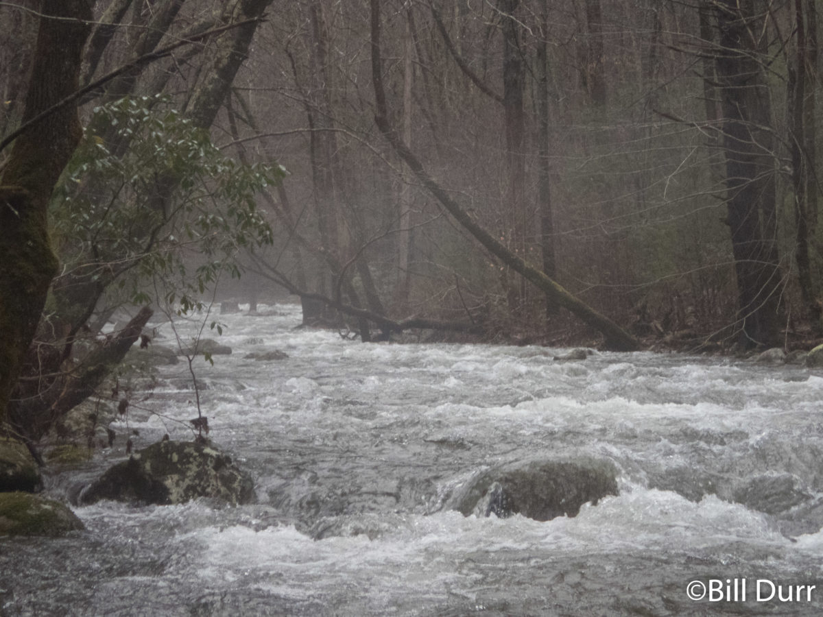
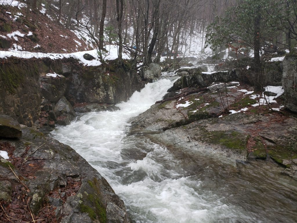
With a good first run for the day we started off to check out the Piney. As we made our way over the mountain the snow on the ground increased and it got foggy. We crossed the ridge that the Blue Ridge Parkway runs on, started down, and turned onto a slightly snowy dirt road. A drainage ditch soon appeared along side the road. It quickly picked up gradient and wood, lots of wood. Almost every other rapid had a log in the crux move about at chest or face height. While the water seemed low, almost everything would have been passable if not for the wood. All of a sudden there was some banging, and I saw Ken’s boat in the window. It apparently was very much in a hurry to get to the river. Luckily it skidded down into an eddy and I was able to quickly grab it before it got away. Talking to everyone while Ken reattached his boat, it was determined that people didn’t share his boats enthusiasm for the section. It seems I was the outlier with my reaction, “this is my kind of drainage ditch.” The gradient and wood continued, but eventually it let up and we started seeing a couple small houses and plenty of Posted signs. As we continued down we passed some other boaters, confirming that this was the place to be today.
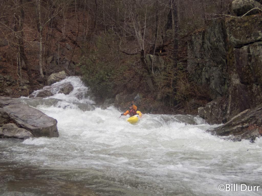
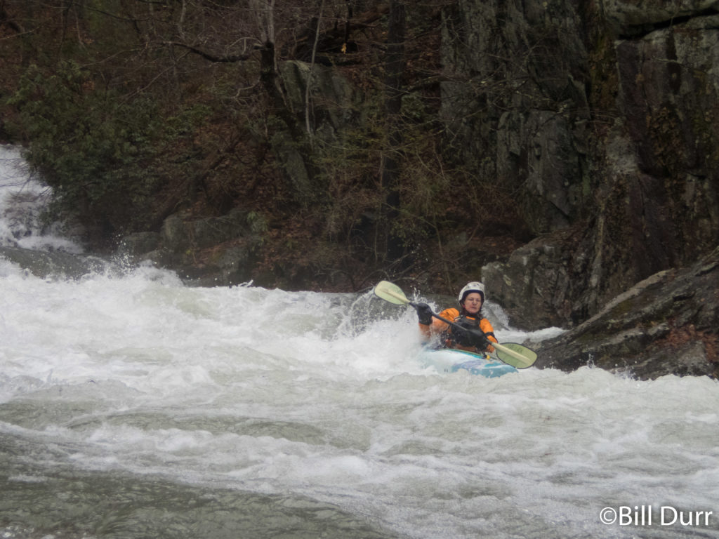
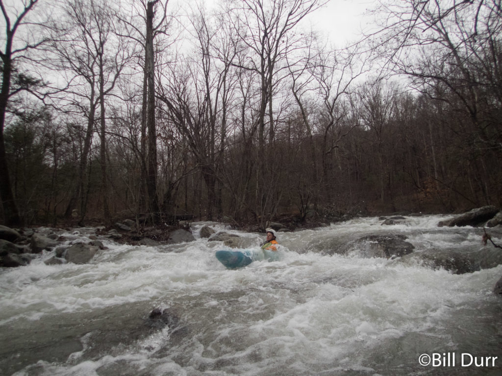
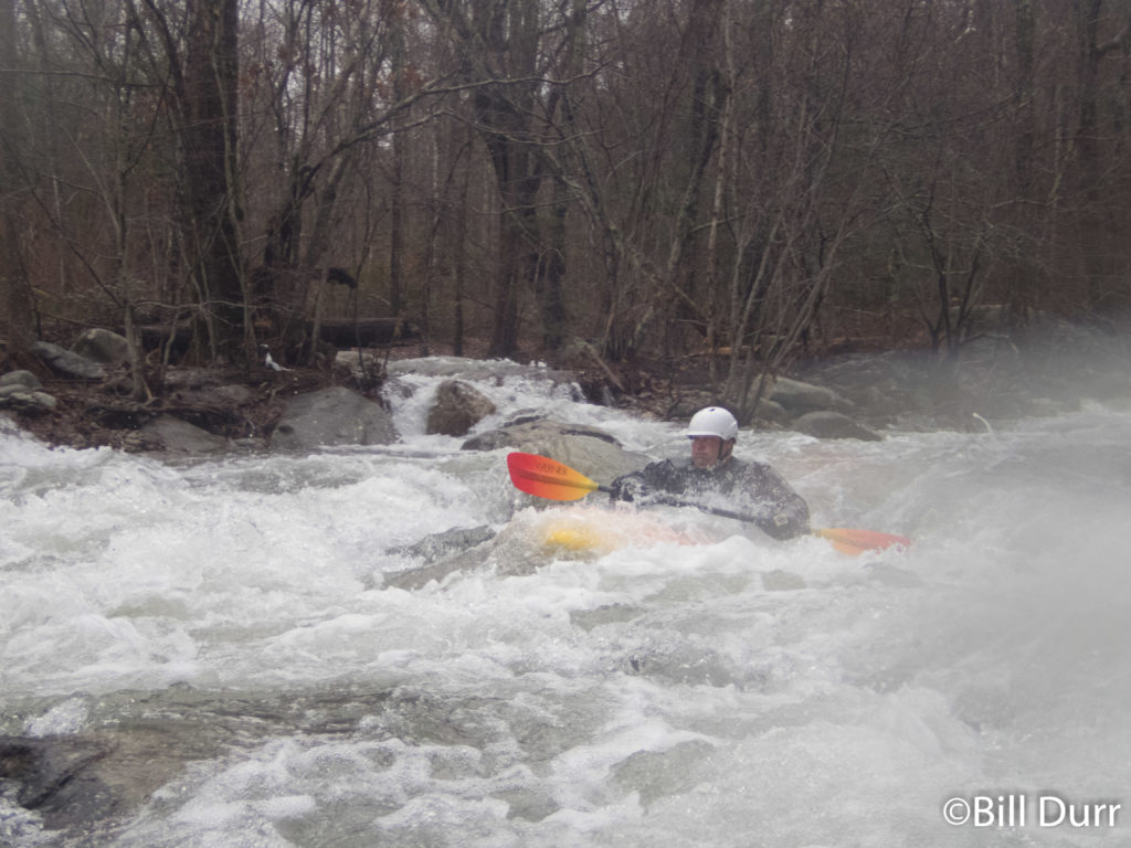
We put on at the standard spot at the national forest boundary and turn around. The fun started quickly and the rapids continued to build. Near the start were a couple low head type features that were a bit sketchy, and definitely would be dangerous at higher levels. They had hazards on both sides. Front causing siphons/strainers, the back being inescapable holes. The rapids throughout the run are boulder gardens all in the class 3 – 4 range. They were all decently complex, and lengthy. Toward the end of one a rock ended up calling to Noah. For some reason he could not break free of its spell and drifted into a nice pin. He was stuck good, but eventually Todd got him free.
About a third of the way down we came to one of the bigger drops that was visible from the road. While it looked nasty from the road this was more due to distance. It had a nice staging eddy river left set you up well to run it down the tongue that formed. The rapid ended up being much more friendly than it looked form the road. While the run is mostly road scoutable, this was one area it strayed away from the road. Below was a nice pool.
Things picked up as the run moved back towards the road. In a couple places it splits and is worth paying attention during to shuttle to see which side has more water or is tree free. The boulder gardens build and it gets to a nice class IV level with a swift pace. I’d describe it as a similar style to the Savage but a class up in difficulty. One of the more complicated drops had some trees piled up in them. The proper move was to boof off the entrance with left hand angle. That would set you up to continue down with the main flow. Unfortunately most of the group didn’t follow and went straight and caught the eddy that went to the right. They had to then scrape down some mank to get back to the main flow. The run comes to an end at a bridge with take out on the left.

